Definition of Topography from Dictionary.com:
to•pog•ra•phy –noun, plural -phies.
1. the detailed mapping or charting of the features of a relatively small area, district, or locality.
2. the detailed description, esp. by means of surveying, of particular localities, as cities, towns, or estates.
3. the relief features or surface configuration of an area.
4. the features, relations, or configuration of a structural entity.
5. a schema of a structural entity, as of the mind, a field of study, or society, reflecting a division into distinct areas having a specific relation or a specific position relative to one another.
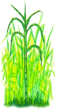
As we already know, the sugar cane is a moderately tropical and sub-tropical crop. The sugar cane can grow in high rainfall areas and in desert conditions, which really depends on irrigation. It normally provides 50% more sucrose per hectare than a beet crop in controlled climates.
In the future of the sugar cane farming, the topography states the capacity to irrigate and drain the faming land properly. We will also need to take special erosion protection measures in the play when harvesting such crops.
When farming sugar canes a flat leveled land is prefered. This is because when rain rall happens, the watter will collect near one section of the crops and destroy the sugar canes in that area. With a flat leveled land to farm on, the rainfall will be distributed to all sugar cane plants.
A Topographic Map of Brazil

![]()
Post a Comment